
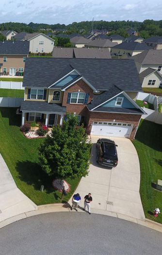
Are you a Realtor who wants to sell houses quicker? Do you have a special occasion to remember? Would you like to add a new perspective to your imagery needs? Call us today!
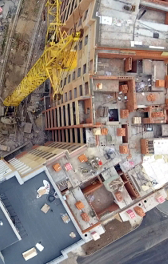
Do you need volumetric measurements, or cut & fill analysis? Would you like to use linework overlays to compare architecture to reality? How about using 3D generated Point Clouds to feed into BIM Models?
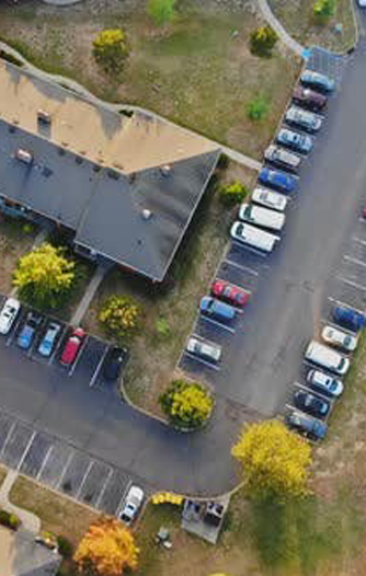
Would you like to have under 2cm of relative accuracy in a topographical map with aerial contours? Would you like to measure volumes and assets on the ground? Do you have a sizable area to cover?
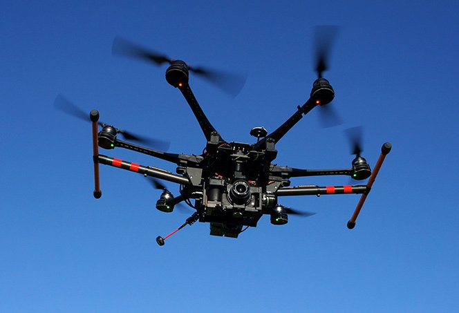
All of our pilots are trained exclusively through DART Drones and undergo extensive classroom
sessions to ensure a complete understanding of the Federal Aviation Administration
regulations. Each of our pilots have at least 50 hours of flight time combined with
over 100 professionally completed jobs under their belt before becoming a Skyline Drones Pilot.